|
* July is the average warmest month.
* The highest recorded temperature was 102°F in 1949.
* January is the average coolest month.
* The lowest recorded temperature was -19°F in 1970.
* 2014-2015 was the Snowiest Winter on record with 127 inches!

|
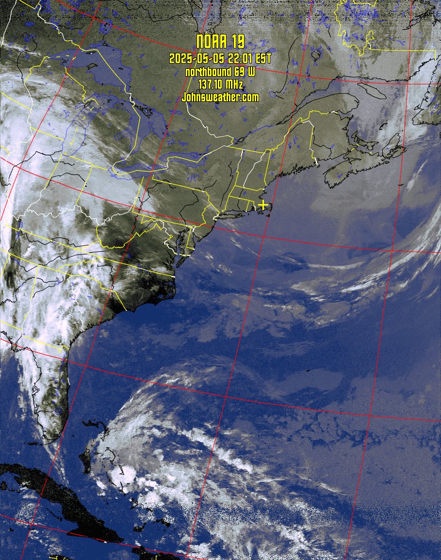
| Latest Satellite Image |
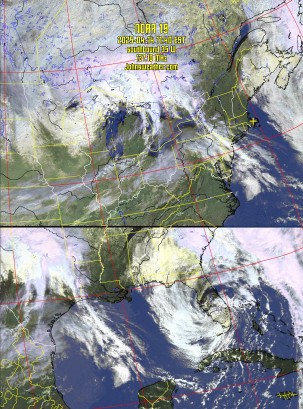 |
The Satellite image to the left is the latest
downlinked from NOAA POES
(Polar Operational Environmental Satellite)
Click for full size image or click
here for the last
24 hour of images.
Here's a short audio clip from a NOAA Satellite pass
AUDIO |
|
|
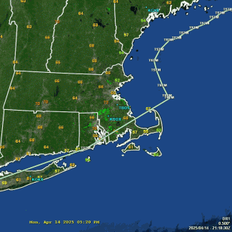
Regional Radar
|
 |
|
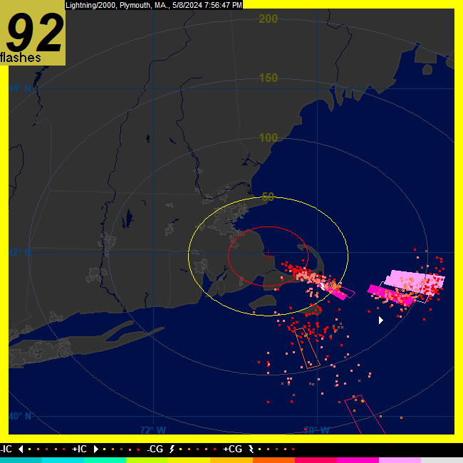
Live Lightning Boltek with L2K
|
|
Refreshes every minute when active
|
 |
|
GRLevel3 Radar Reporting Sites Status
|
 |
|


